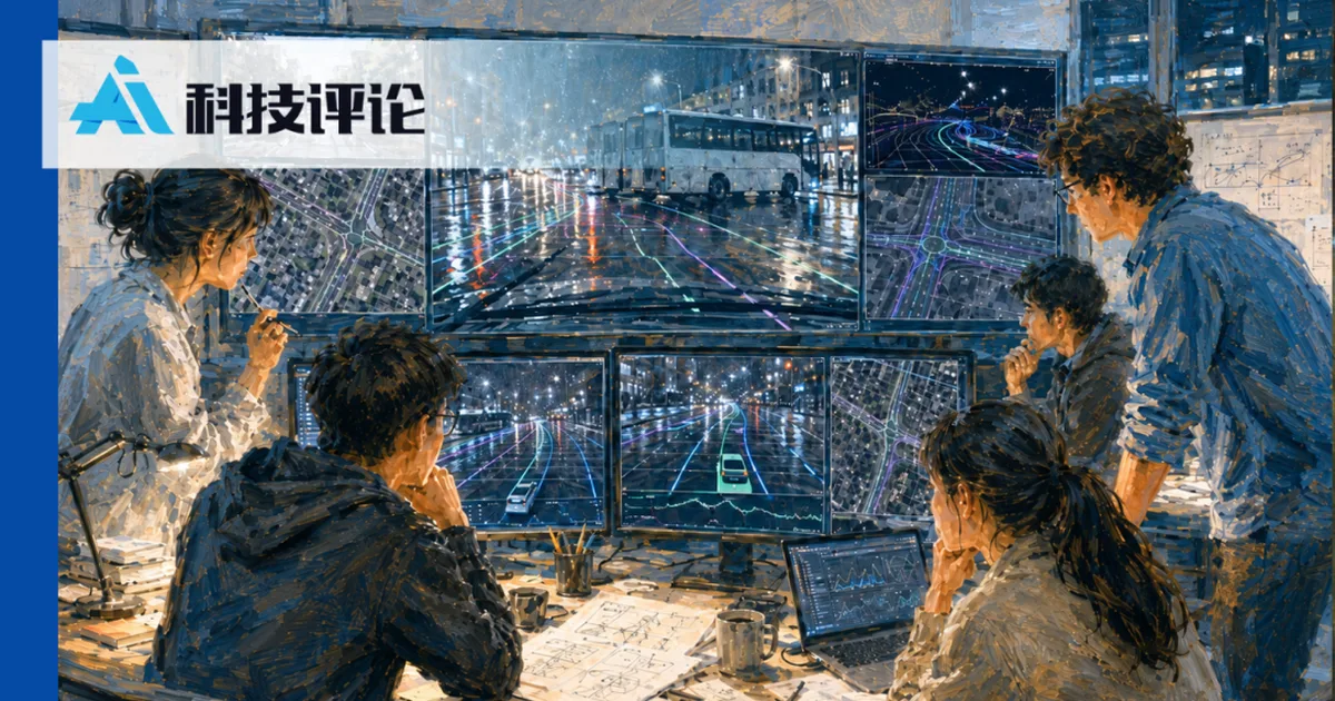
Researchers from Fudan University and Shanghai Jiao Tong University have developed a novel approach for autonomous driving that incorporates a "spatial memory" by retrieving historical geographic information. This method uses GPS data to access street view and satellite imagery of the current location, fusing this with real-time sensor data. The system is designed to provide a spatial prior, helping vehicles understand road structures like lane lines and boundaries, especially in challenging conditions where sensors may be obscured or provide limited views. This "retrieval-augmented autonomous driving" paradigm shifts from relying solely on immediate sensor input to a combination of real-time perception and historical spatial context. AI
影响 Introduces a new paradigm for autonomous driving by integrating historical geographic data with real-time sensors, potentially improving safety and robustness in complex scenarios.
排序理由 The cluster describes a research paper proposing a new method for autonomous driving. [lever_c_demoted from research: ic=1 ai=1.0]
- BEVFormer
- CVPR 2026
- FBOcc
- Fudan University
- MapTRv2
- Shanghai Jiao Tong University
- Spatial Retrieval Augmented Autonomous Driving
- Google Maps API
- MapTR
- nuScenes
AI 生成摘要 · Google Gemini · 来自 1 个来源。 我们如何撰写摘要 →