中国首次在台湾东部进行了海底测绘调查,涉及多个海事机构。此次行动旨在收集该区域的详细水文数据,专家认为这可能增强潜艇和反潜能力。中国官媒认为此次调查是中国在宣示对台湾周边水域管辖权方面的战略进展。 AI
排序理由 文章详细描述了一个主要国家采取的一项重要的地缘政治行动,涉及战略测绘和潜在的军事影响。
AI 生成摘要 · Google Gemini · 来自 1 个来源。 我们如何撰写摘要 →
中国首次在台湾东部进行了海底测绘调查,涉及多个海事机构。此次行动旨在收集该区域的详细水文数据,专家认为这可能增强潜艇和反潜能力。中国官媒认为此次调查是中国在宣示对台湾周边水域管辖权方面的战略进展。 AI
排序理由 文章详细描述了一个主要国家采取的一项重要的地缘政治行动,涉及战略测绘和潜在的军事影响。
AI 生成摘要 · Google Gemini · 来自 1 个来源。 我们如何撰写摘要 →
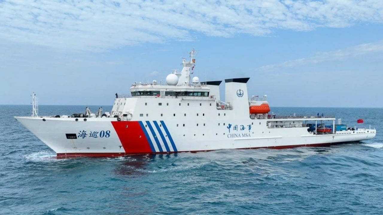
Beijing has completed a seabed survey in the complex waters east of Taiwan, its latest move to strengthen management of the waters around Taiwan following maritime border talks between Japan and the Philippines, according to state media. It is the first time mainland Chinese mari…