PulseAugur
中
实时 20:33:49
English(EN) What does Philippines seek with new Thitu map in South China Sea?

菲律宾发布新地图以主张南海主权

菲律宾发布了包括详细坐标和图表的南海中业岛区域新地图。此举旨在减少法律模糊性,并正式记录该国在中业岛(Pagasa)、拉克岛等卡拉延群岛内的岛屿上的存在和主权主张。专家认为,该地图将有助于马尼拉精确识别并挑战该争议地区内的竞争性主张。 AI

排序理由 该条目讨论了一个国家通过地图文件主张领土主张的重大地缘政治举动。

在 SCMP — Tech 阅读 →

AI 生成摘要 · Google Gemini · 来自 1 个来源。 我们如何撰写摘要 →
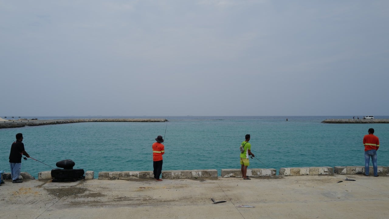
菲律宾发布新地图以主张南海主权

本文如何被排名

Signal score
0 / 100
Composite score across the factors below. Higher = stronger signal that this story matters right now.
Newsworthiness bucket
Research
该条目讨论了一个国家通过地图文件主张领土主张的重大地缘政治举动。
Source corroboration
Single-source cluster
Only one publisher covered this so far. Single-source stories can still rank when the publisher is high-authority, but they lack cross-source corroboration.
Topics
policy
Editorial topic classification. Feeds into how the story surfaces on /topic/<slug> hub pages and into the per-entity coverage mix.
AI-industry relevance
Low
Off-topic or adjacent — cluster remains reachable but doesn't surface in AI-industry rankings.
Story freshness
4 days old
Aged out of breaking-news scoring windows; ranking reflects the durable signal from the full source set.

完整方法见我们的编辑标准。

报道来源 [1]

  1. SCMP — Tech TIER_1 English(EN) · Jeoffrey Maitem ·

    菲律宾在南海发布新中业岛地图有何目的?

    Thitu Island and its residents have come under the spotlight after the Philippines, in a bid to reinforce its claims in the South China Sea, announced plans to file an updated maritime chart with the United Nations. Observers say the filing would not establish Philippine sovereig…