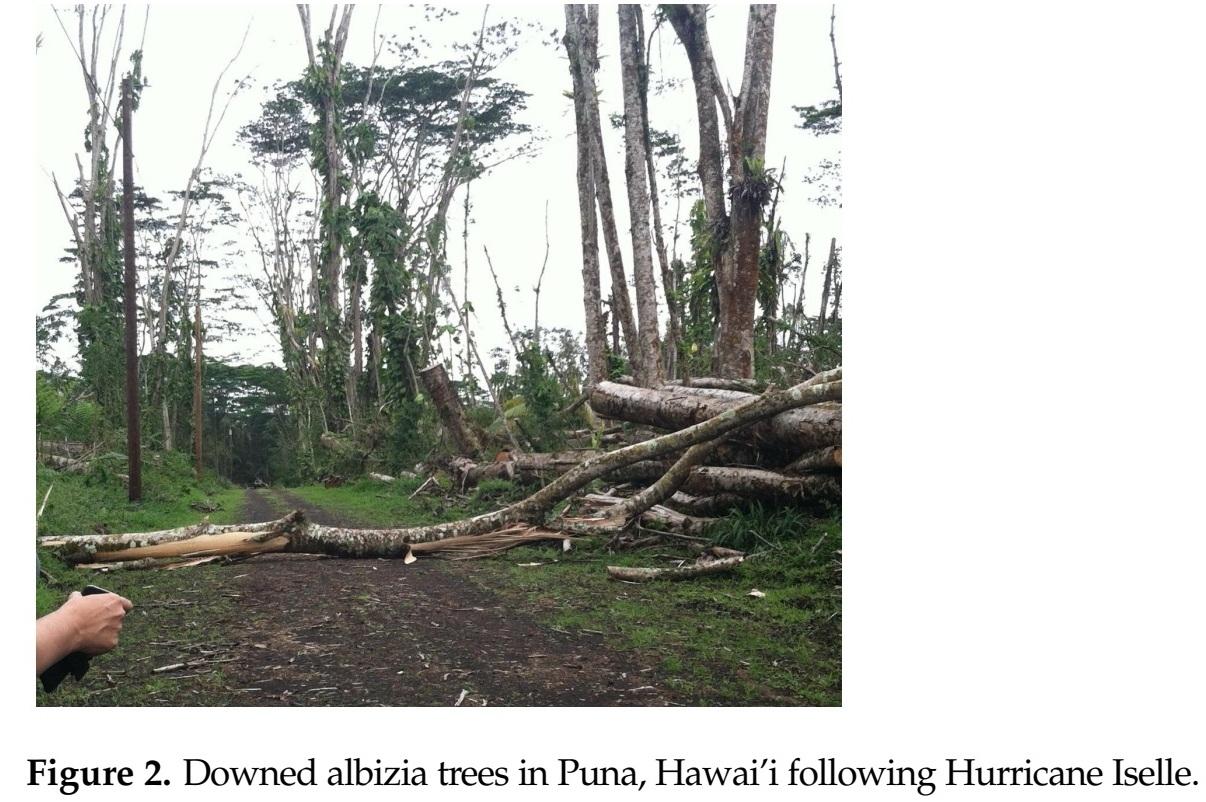
A new study introduces a GeoAI framework to map the exposure of infrastructure to invasive Albizia trees in Hawaii. The framework utilizes a U-Net convolutional neural network with a ResNet-34 backbone to identify and map Albizia canopies from aerial imagery. This spatial decision-support tool aims to prioritize vegetation management and hazard mitigation efforts by providing comprehensive data on the distribution of these invasive trees, which pose a significant threat due to their susceptibility to windthrow. AI
IMPACT This GeoAI framework could improve infrastructure resilience by enabling targeted management of invasive species.
RANK_REASON The cluster describes a published academic paper detailing a new methodology for geospatial analysis. [lever_c_demoted from research: ic=1 ai=1.0]
Read on Mastodon — fosstodon.org →
- Albizia
- GeoAI
- Hawaii
- Hawaii Invasive Species Council (HISC)
- National Agriculture Imagery Program (NAIP)
- ResNet-34
- U-Net
AI-generated summary · Google Gemini · from 1 sources. How we write summaries →