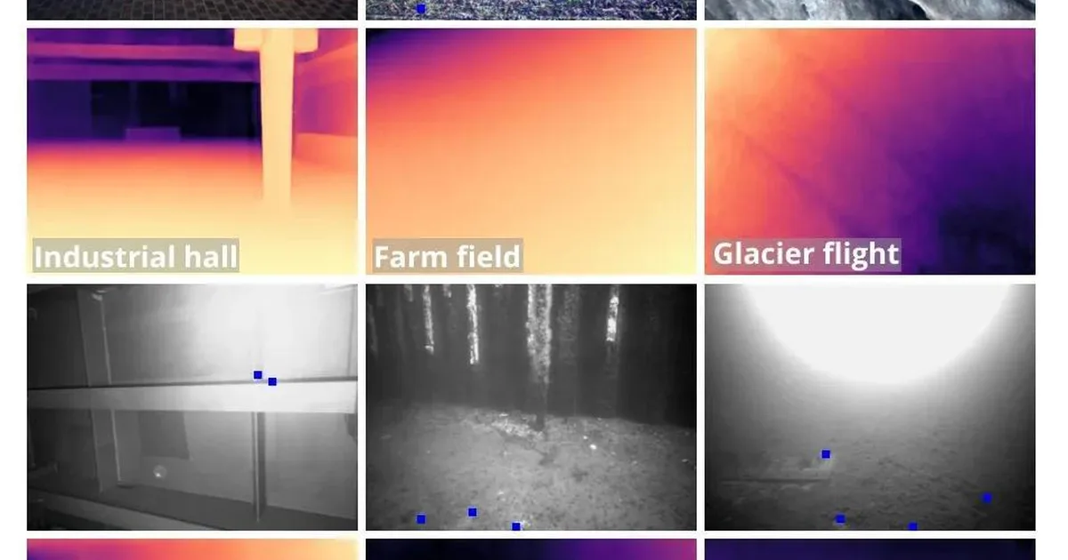
Researchers have developed a novel depth completion model that can accurately estimate dense depth maps in challenging outdoor environments using extremely sparse depth measurements, such as those from low-cost radar. This model, based on the Depth Anything V2 architecture, introduces a "fourth input channel" to integrate sparse depth data, enabling it to overcome limitations in low-texture and scale-ambiguous settings. The system achieves real-time performance on edge devices, making it suitable for mobile robots in fields like agriculture and underwater exploration. AI
IMPACT Enables more robust and cost-effective depth perception for robots in unstructured outdoor environments.
RANK_REASON The cluster describes a new research paper accepted to ICRA 2026 detailing a novel depth completion model. [lever_c_demoted from research: ic=1 ai=1.0]
AI-generated summary · Google Gemini · from 1 sources. How we write summaries →