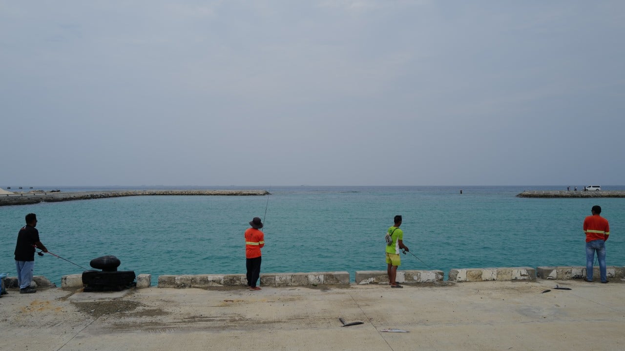
The Philippines has released a new map of the Thitu area in the South China Sea, including detailed coordinates and charts. This move aims to reduce legal ambiguity and formally document the country's presence and sovereignty claims over islands like Thitu (Pagasa), Lawak, and others within the Kalayaan Island Group. Experts suggest the map will help Manila precisely identify and challenge competing claims in the disputed region. AI
RANK_REASON The item discusses a significant geopolitical move by a nation to assert territorial claims through cartographic documentation. [lever_c_demoted from significant: ic=1 ai=0.1]
AI-generated summary · Google Gemini · from 1 sources. How we write summaries →