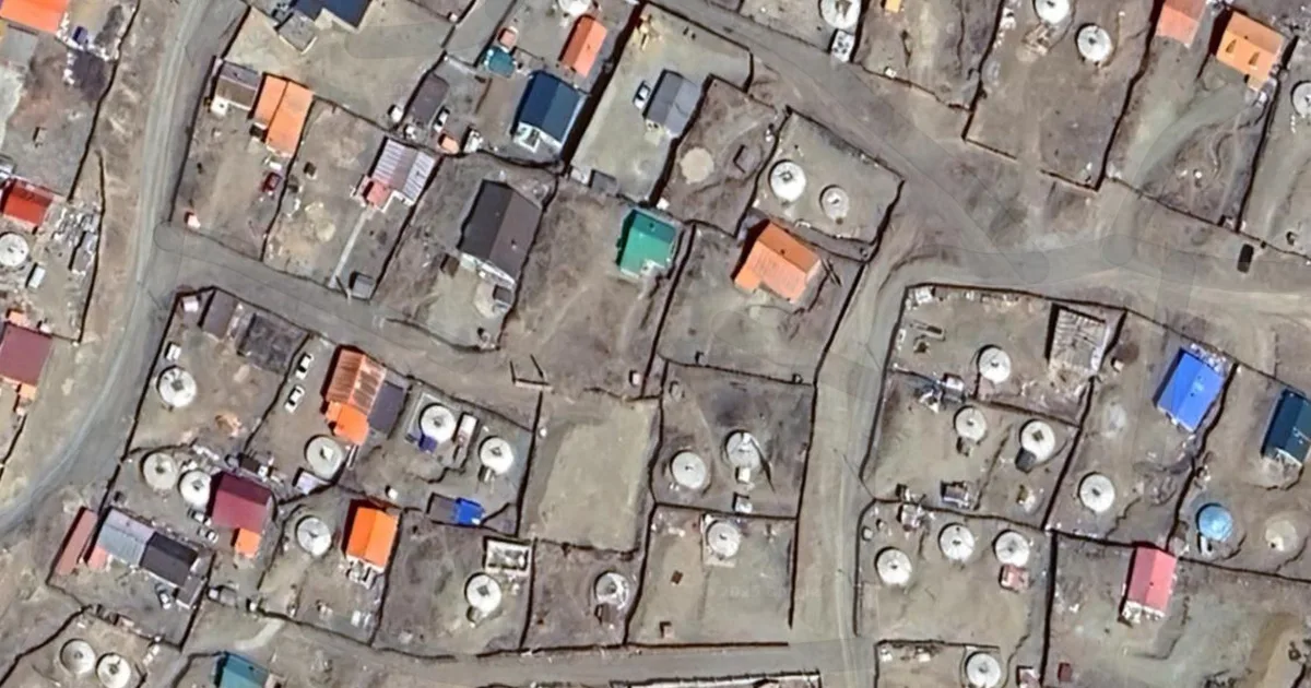
A data scientist used machine learning to count yurts across Mongolia after being inspired by a podcast about the Mongol Empire. After downloading and labeling over 10,000 yurts from Google Maps satellite imagery, they trained a model to identify and count the remaining structures. This project aimed to provide a quantitative understanding of contemporary Mongolian society beyond traditional economic indicators. AI
IMPACT Demonstrates a novel application of machine learning for counting objects in satellite imagery, potentially inspiring similar uses in urban planning or environmental monitoring.
RANK_REASON The article describes a personal project using machine learning for a non-AI specific task, fitting the research category. [lever_c_demoted from research: ic=1 ai=0.4]
Read on HN — machine learning stories →
AI-generated summary · Google Gemini · from 1 sources. How we write summaries →