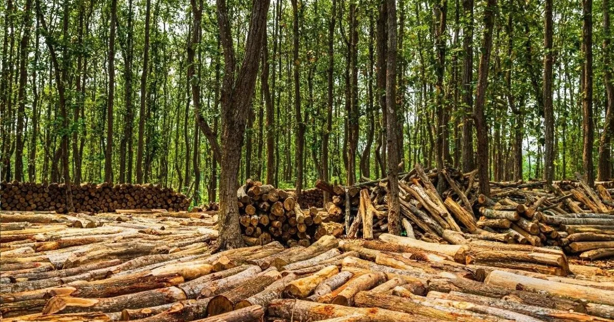
A study published in Environmental Challenges utilized machine learning algorithms to map deforestation probability in Bangladesh's Gazipur district. The research integrated twelve factors, including biophysical, landscape, and anthropogenic data, to identify high-risk zones. Five machine learning models—RF, XGBoost, ANN, NB, and MLP—were trained and assessed to facilitate evidence-based forest governance and conservation efforts. AI
IMPACT This research demonstrates the application of machine learning for environmental monitoring and conservation planning.
RANK_REASON The cluster contains a scientific paper detailing research methodology and findings. [lever_c_demoted from research: ic=1 ai=0.7]
Read on Mastodon — fosstodon.org →
- Bangladesh
- Environmental Challenges
- Gazipur
- Mapping Deforestation Probability And Understanding The Forest Dynamics In Gazipur, Bangladesh
- Shorea robusta
AI-generated summary · Google Gemini · from 1 sources. How we write summaries →