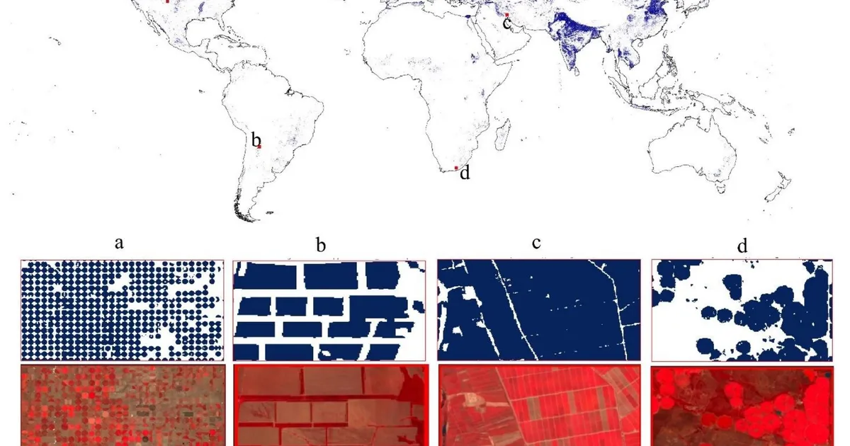
Researchers have developed a new global map of irrigated areas, named GMIA-NEXT, utilizing machine learning and Earth observation data. This dataset provides a medium-resolution (30-meter) view of irrigation patterns for the 2023/24 growing season, addressing limitations of previous coarse-resolution or less robust datasets. The project integrates ground-truth points, vegetation metrics from Landsat imagery, and various environmental variables to create a more detailed understanding of global irrigation. AI
IMPACT Provides enhanced data for food security and climate adaptation research, enabling more precise analysis of water use.
RANK_REASON The cluster describes the release of a new dataset and associated paper detailing a global map of irrigated areas, which falls under research. [lever_c_demoted from research: ic=1 ai=0.7]
Read on Mastodon — fosstodon.org →
AI-generated summary · Google Gemini · from 1 sources. How we write summaries →