Does GPS Help AI See Better? Testing Location Encoders for Satellite Imagery
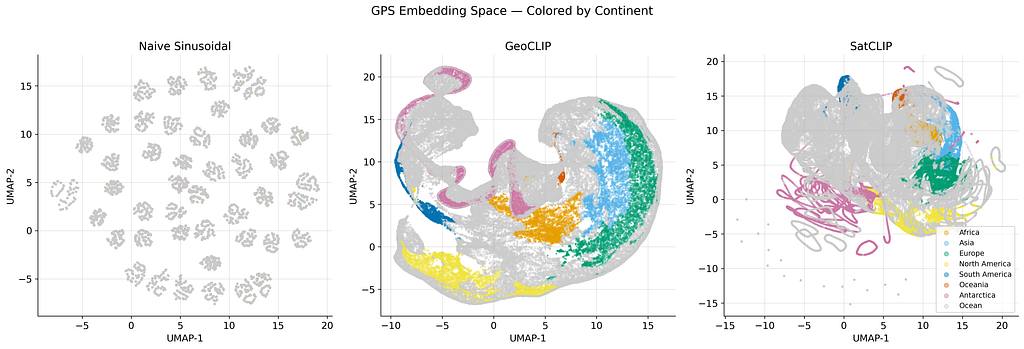
A new benchmark study explores how to best incorporate geographic location data into AI models for satellite image analysis. Researchers tested three methods—naive sin/cos, GeoCLIP, and SatCLIP—to encode latitude and longitude, finding that while naive sin/cos produced the most geographically coherent embeddings, SatCLIP offered a better balance for land-cover classification. The study used a DINOv2 vision model and the EuroSAT dataset to evaluate the effectiveness of these location encoders. AI
IMPACT Incorporating location data can significantly improve AI's ability to classify satellite imagery, moving beyond pixel analysis to understand geographic context.